




UAV/Drone Ground Control Points/Aerial Mapping & Surveying (24"x24") | Center Passthrough | Numbered 0-9 (10 Pack)
Regular price
$99.99
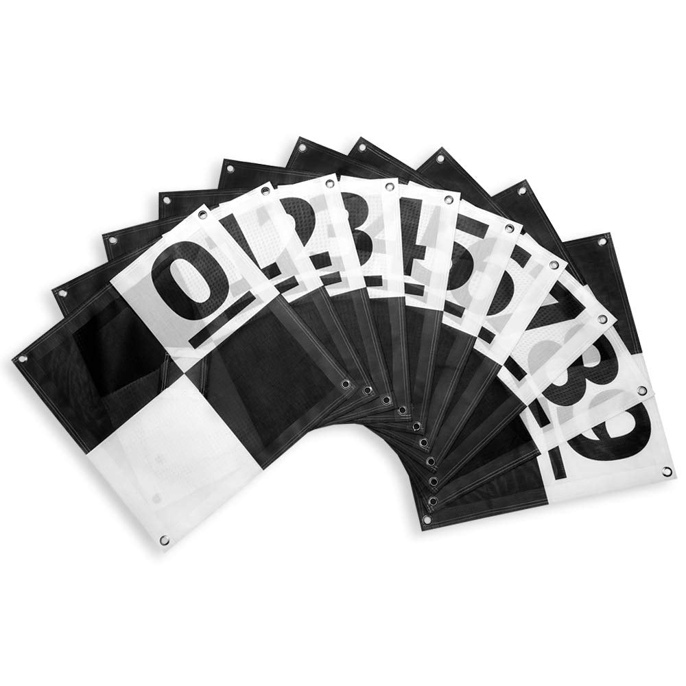
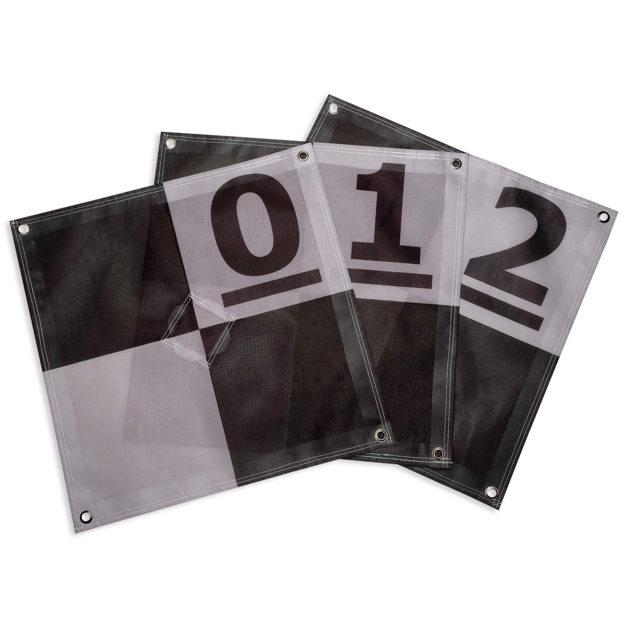
Finally a better alternative to homemade Ground Control Points (GCPs) to fulfill any UAV drone mapper's needs. With a unique center passthrough design, this GCP can be used on already established survey points, which enables mapping to be performed after a surveyor has already taken coordinates. Simply place the survey marker through the 3" x 3" center cutout of the GCP to perform precise aerial mapping with pre-established coordinates. The GCP can also be used via a more traditional approach with the center flaps covering the cutout, enabling centimeter level precision mapping. The cutout flaps provides a center point to shoot your own coordinates, with an open center to place your rod, decreasing the chances of puncturing the GCP. The 24" x 24" design enables easy transport and storage of the GCPs as well as a scale to use when reconstructing your map. With 4 tie down points, the GCP is also easy to keep in position, even on the windiest of days.
What customers are saying
Rated 4.8 out of 5 from 277 verified reviews on Amazon.
★★★★★
“Excellent tool for drone mapping”
— SWG, Columbus, Ohio, Verified Amazon Purchase
★★★★★
“Good target. Well made. Shows well in data.”
— Robert V. Johnson Jr., Verified Amazon Purchase
★★★★★
“Good targets for RTK requirements”
— Techtester1, Verified Amazon Purchase
★★★★★
“Sturdy, well made GCPs”
— paul, Verified Amazon Purchase
★★★★★
“Easily Seen”
— Bre, Verified Amazon Purchase